Recent searches
Search options


 @seav@en.osm.town
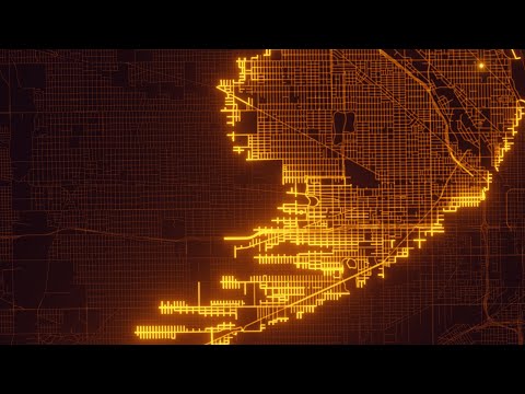
This video is a really pretty visualization of the A* pathfinding algorithm using #OpenStreetMap road network data for #Chicago and #Rome as examples.

@seav Nice. I would expect it to 'dendrite' off more on bigger and bigger roads. In particular, for some reason, for the Rome example, I expected it to take the Anulare (the right morotway).
I love the "we connected, highlight the solution" lighting-esque effect at the end :)